Amicalola Falls & Springer Mountain to Franklin
Every Northbound (NOBO) hiker on the Appalachian trail starts at Springer Mountain in Georgia. Getting to Springer via car is a logistical nightmare on back country roads, so most hikers start from Amicalola Falls. This adds 8 miles to the 2,198.4 mile journey, but is considered the better option.
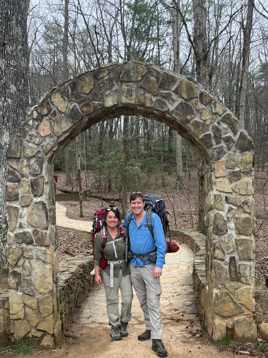
We signed in at the ranger’s station on March 24, took our first AT photo under the iconic arch, and then climbed the stairs past the flowing waterfalls to the lodge where we stayed the night. From our warm bed we watched the lightning playing across the sky and the rain beating against the windows. Tomorrow’s weather was predicted to be dry and sunny.
The beginning of the AT is infamous for being one of the most difficult parts of the trail, mostly because of its many (and constant) climbs. There is no time to change gears from going up, then down a hill. In retrospect, it’s not that hard. Most of us simply weren’t trail fit yet. The hikers who were, sped ahead never to be seen again.
Blood Mountain is the first real peak and of the hikers who make it this far, roughly 30% call it quits at this point. Much more challenging than Springer Mountain, the climb up the backside is gradual and easy, but coming down it’s a boulder-filled knee-jarring descent. Happily, the first outdoor shop, Mountain Crossings, is on the other side of the mountain with frozen pizzas, shake-down’s to eliminate extra weight, and cabins.
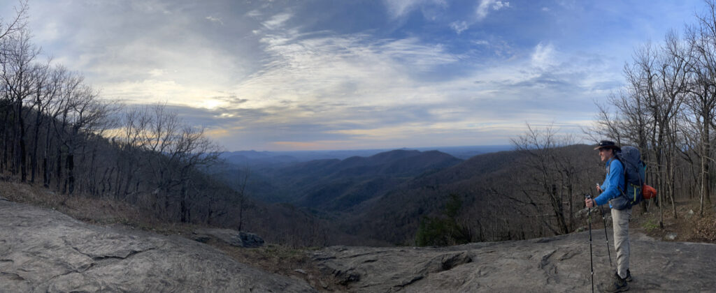
View from the northern side of Blood Mountain
By this point we had been on the trail for 4 nights, and had met enough people that there was a reunion-like feeling seeing familiar faces at the picnic tables outside the store. There are more hikers on the trail at this point than any other time. Everyone is fresh, excited, and eager for the journey – regardless of whether they are prepared or not.
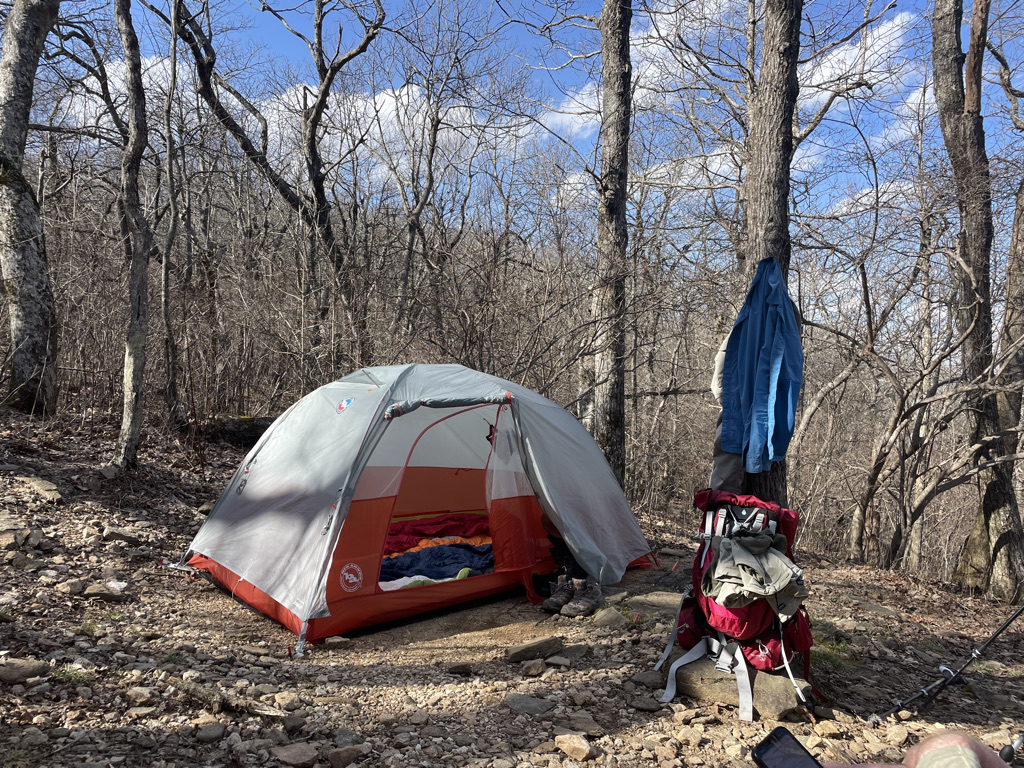
We were well-prepared, but that night, the temperatures hovered just above freezing. Dan and I had pitched the tent in Swaim Gap, a mile past Mountain Crossings. It was early spring, so the trees were bare, and we were on a ridge. Throughout the night, I would hear the wind roaring, a sound similar to ocean waves, and would brace myself, anticipating the cold as it cut through our tent, taking the warmth of our bodies with it.
The days settled into a rhythm. From Mtn Crossings it would be three days to get to Hiawassee & Clayton. There was a hostel there called ‘Around the Bend’ that will pick hikers up from the trailhead for free, if you’re staying with them. The Outfitter 76 in Clayton also runs a free shuttle from the trailhead to town. For many hikers, this is the first stop for laundry, a hot meal, and beer. (For a full of overview of the hostels we stayed at follow the link: )
Leaving the hostel, it was a drippy, misty morning. Some of the hikers decided to stay an extra day to avoid the weather, but Dan and I were on a schedule (dur to his six month visa), and anyway, it wasn’t raining that hard. We were rewarded with a break in the weather, a wide open empty trail, and the peaceful quietude that settles over woods after the rain. We were excited, in the next couple days we would cross our first state line and pass the 100 mile mark.
Everyone talked about how difficult Georgia was, and apparantly North Carolina was supposed to be much easier. Instead, we were welcomed by three STEEP climbs that came fast and quick. It was a windy day and the struggle to stay upright with a full pack was real. That evening at the Muskrat Shelter, every hiker was exhausted and a bit ticked-off by the hype that NC would be easier. It did Not get easier.
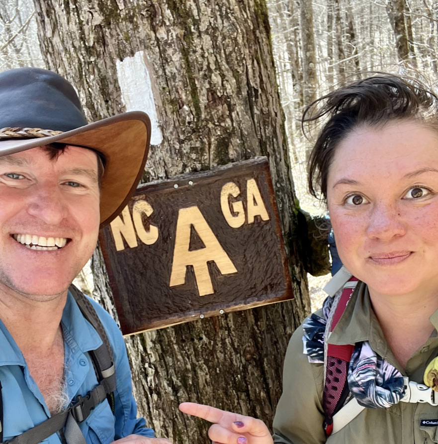
The next two days to Franklin were marked by steeper ascents, continued misty weather, and a noticeable decrease in the number of hikers. ‘Tramilies’ were forming – trail families, groups of hikers who would begin and end the day together, catch up at lunch and any other milestones during the day.
Finally, we were on the last approach to the Winding Stair Gap. The day before we had walked 16 miles, so the 12 miles to the gap should have been easy. The continued cold and misty weather, the relentless ups and downs (a theme of the trail), and the expectation of a warm bed and a zero-mile day tomorrow made it seem exceptionally long. Additionally, the shuttle only ran three times a day so there was an urgency to the hike.
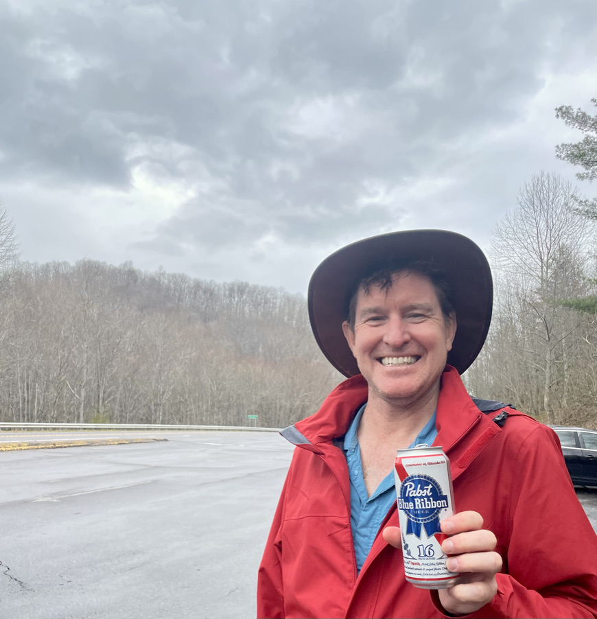
On reaching the gap, there was a pleasant surprise – our first trail Magic! Trail Magic is when a charitable individual or group spends the day at a trailhead, road crossing, or park along the AT with treats for thru hikers. Usually this is sodas & snacks. Sometimes, a BBQ and beers. This time, it was donuts, chips, soda and PBR’s courtesy of a thru hiker from 2017 named ‘Lucky’. He had brought his RV and spent the cold rainy day handing out treats and drinks. By the time we got there, he was finishing up and offered to take us into town.
After what felt like weeks (but was actually only 10 nights), we had reached Franklin.
